16th Century Settlements along the Tigris and Euphrates
The Journal of Early Modern History
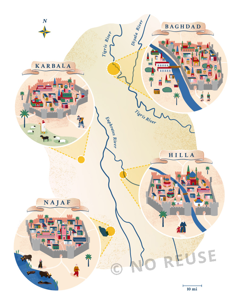
I worked with environmental historian Faisal H. Husain (Pennsylvania State University) to create this diagram, which accompanies an article about this region following the Ottoman conquest of Baghdad in 1534, during which the waters of the Tigris and Euphrates were managed towards both political and religious ends.

To inform this composition, I was supplied with incredible reference imagery, including 16th century maps by Matrakçı Nasuh and 17th century portraits by Musavvir Hüseyin of local garb and professions (such as the "water carrier"). I needed to bring in a more grounded sense of geographic space, while paying homage to the playful sense of colour and perspective in the references.
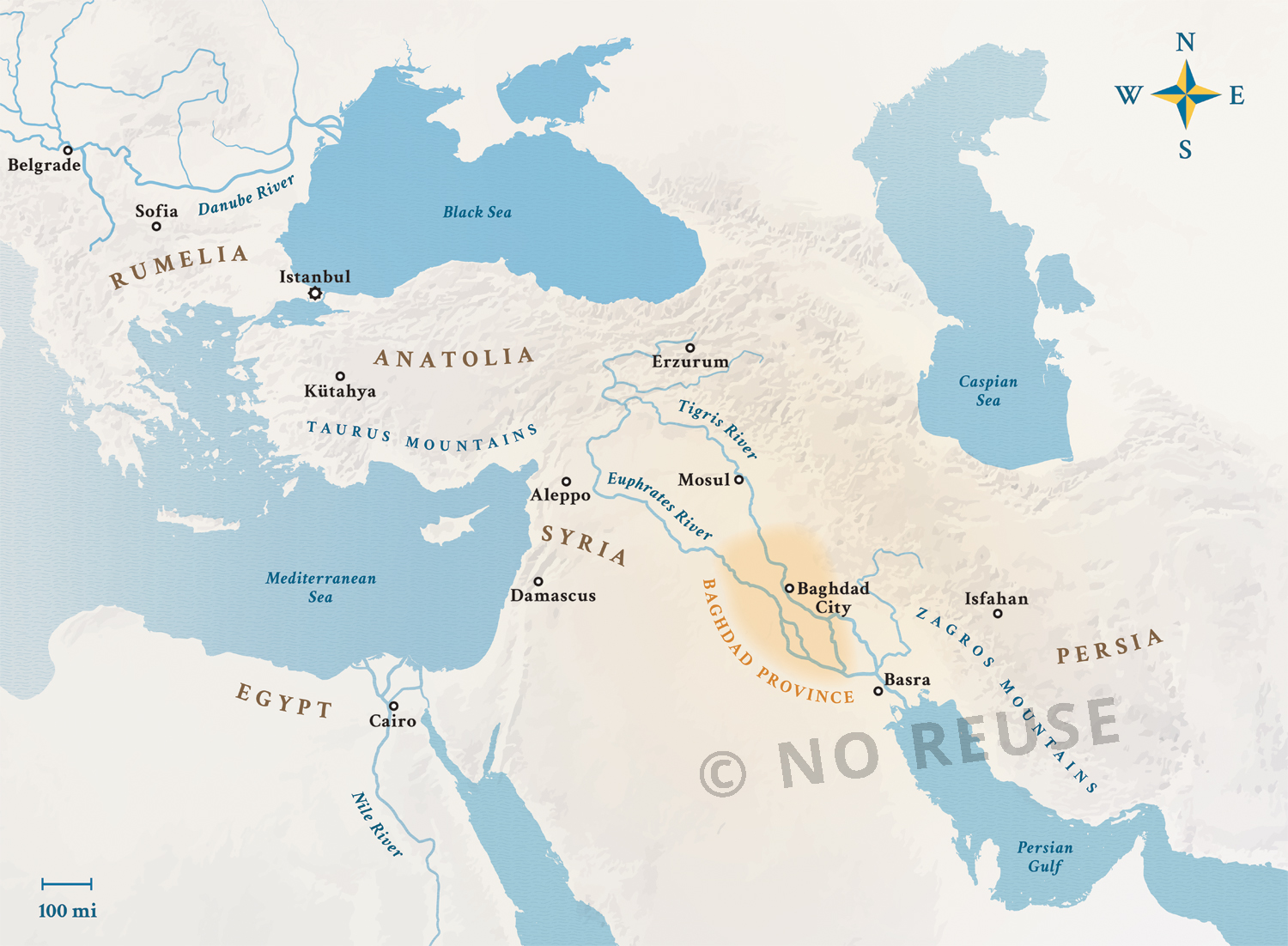
The article also includes a more traditional map, which combined geodata with aesthetic styling that would compliment the main diagram image.
The article is in "The Journal of Early Modern History" (25, 2021) and is titled "Water for the Saints of Baghdad: The Hydrology of a Sacred Ottoman Geography".